IOSIN EMSO-EUXINUS
By Government Decision no. 629/27.07.2023, which updated GD 786/2014, the National Center for Marine Natural Hazard Monitoring and Warning – IOSIN EMSO - EUXINUS, operated by the National Institute for Research and Development of Marine Geology and Geoecology (GeoEcoMar), was included in the list of special installations and objectives of national interest. IOSIN EMSO-EUXINUS is supported by public funds allocated through the State Authority for Research and Development.
IOSIN EMSO-EUXINUS is a regional security system for the Western Black Sea with real-time alerting to marine geo-hazards (eg submarine landslides, active fault movements, submarine earthquakes, tsunami waves, etc.), which monitors characteristics and dynamics coastal water bodies, including a number of meteorological parameters. Romania is represented in the European multidisciplinary consortium for the observation and research of the ocean floor and water column - EMSO ERIC (full name-European Multidisciplinary Seafloor and Water Column Observatory - European Research Infrastructure Consortium), through the National Institute of Marine Geology and Geoecology - GeoEcoMar. It provides EMSO ERIC real-time data on the physico-chemical and biological parameters of the water column, at different depths, data on early warning in case of marine hazards, as well as the experience of personnel involved in the proper functioning of the entire system. . The source of the provided data is the EUXINUS network of marine and coastal observatories (3 offshore and one coastal observatories), part of the Black Sea Security System, and their storage is done in the database within the National Center for Monitoring - Alarming to Marine Natural Hazards. , which operates within the Constanta branch of INCD GeoEcoMar.
By Government Decision no. 786, the National Center for Monitoring - Alarming to Marine Natural Hazards and the Black Sea Security System EMSO - EUXINUS network, with NIRD GeoEcoMar as operator, have been included in the List of facilities and special objectives of national interest.

EMSO - EUXINUS Network
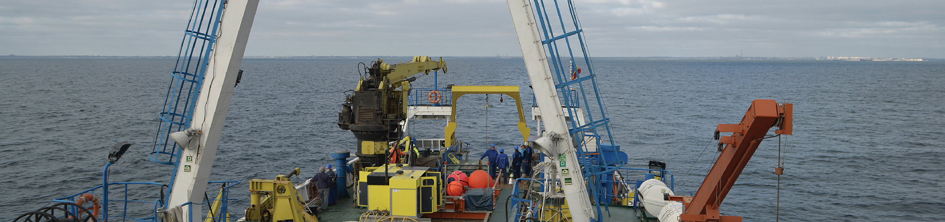
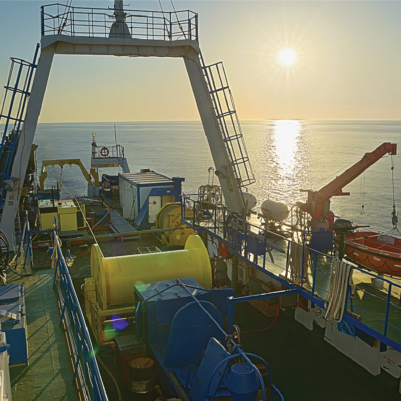
The network includes 3 complex marine monitoring stations, located approximately 160 km offshore the Black Sea, at water depths up to 90 m and a coastal station (MEDA type), located near the port of Mangalia, at a water depth of 15 m.
The stations are fully automated, with a specific anchorage system on the seabed, being provided with remote control systems and two-way real-time communication with the Coordination Center on the shore
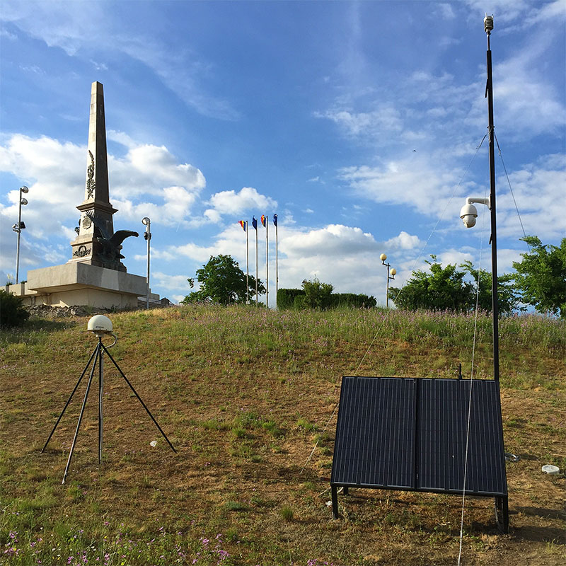
GeoPontica Network
Geodynamic system in the Black Sea region that allows monitoring and study of the earth's crust movements (vertical - isostasis, eirogenetic uplifts, subsidence, sediment compaction and horizontal, due to global tectonics - movement of lithospheric plates or relative movement of tectonic blocks and blocks) sea level.
2D Seismic Aquisition System
In order to know the superficial and deep structure of the seabed, a complex 2D marine seismic acquisition system is used, located on board the Mare Nigrum Research Vessel.
.